The application of Eurocode 7 (EN 1997-1:2004) with the Irish National Annex brings particular challenges in Dundalk's geological setting. The town sits on a complex sequence of glacial tills, deposited during the late Pleistocene, which overlie the underlying Carlingford limestone and Silurian mudstone. In our experience, the cohesive nature of these lodgement tills often masks a delicate sensitivity to pore-water pressure changes, making a purely prescriptive approach risky. A proper slope stability investigation here must go beyond simple limit equilibrium methods and account for the pre-consolidation stress history of the boulder clay. We frequently pair this work with a detailed site investigation using CPT to profile the undrained shear strength variation with depth before any earthworks begin. The proximity of the Castletown River and Dundalk Bay means groundwater fluctuation is a critical design parameter that can't be ignored.
Dundalk’s boulder clay is strong until it’s wet. If your slope model doesn’t include a sensitivity analysis on groundwater, you’re designing for the wrong failure mode.
Service characteristics in Dundalk
Critical ground factors in Dundalk
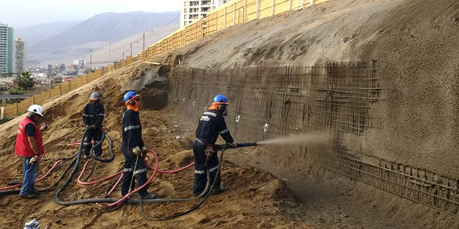
A tracked CPT rig or a rotary drilling rig with a push-sampling system is the typical equipment we mobilize for a Dundalk slope investigation, depending on access constraints. The machine sets up on the crest or, where safe, on the mid-slope bench to push through the stiff till. The core risk in this area is not just a simple circular slip; it’s the progressive failure mechanism that starts with a loss of suction in the near-surface fissures. Once that matric suction is lost after a sustained wet winter, the factor of safety can degrade from a comfortable 1.5 to below 1.0 in a matter of days. We’ve seen this in cut slopes for industrial units where the original design underestimated the hydrostatic pressure build-up behind the weathered zone. Ignoring the brittle behavior of the desiccated crust when it saturates is the single most common cause of failure we encounter.
Our services
A reliable slope assessment in Dundalk requires integrating site-specific geology with solid analytical methods. We structure our technical support around three core phases:
Geotechnical Interpretation & Parameter Selection
We review borehole logs and lab data (CIU triaxial, Atterberg limits, oedometer) to define the engineering strata. The focus is on picking a realistic operational strength for the lodgement till—not the peak value—and defining the piezometric surface for the design groundwater case.
Numerical Slope Modeling
Using limit equilibrium software (Slide2/GeoStudio) and, for complex geometries, finite element analysis (Plaxis 2D), we model the slope geometry. This includes a sensitivity analysis on the weathered mudstone interface, which often controls the overall stability.
Remedial Design Recommendations
Based on the analysis, we provide practical design recommendations. This typically involves a regrading plan, installation of deep counterfort drains to depressurize the slope, or a toe berm design to increase the resisting moment.
Frequently asked questions
What is the typical cost for a slope stability analysis for a residential site in Dundalk?
For a typical residential plot on a moderate slope in Dundalk, a detailed desk study, site walkover, and a limit equilibrium analysis report for planning submission generally falls between €1,200 and €3,660. The final figure depends on whether we need to commission a dedicated ground investigation with boreholes and lab testing, or if we can work with existing data from a previous site investigation on the property.
How does the weathered mudstone layer affect the stability analysis in the Dundalk area?
The weathered mudstone acts as a low-permeability boundary beneath the more permeable glacial till. Water tends to perch on this interface, leading to a localized increase in pore-water pressure and a reduction in effective stress. In our models, we define this as a distinct material layer with a reduced friction angle and treat it as a potential slip surface. If the slope angle is steep and the interface dips towards the excavation, this becomes the critical failure mechanism.
Can you perform a slope analysis without drilling new boreholes?
It depends on the quality and proximity of existing data. If there are reliable public borehole records from the Geological Survey of Ireland (GSI) near your Dundalk site, we can build a preliminary model. However, for any permanent works design, we strongly recommend a targeted investigation to verify the depth of the till/mudstone interface and obtain undisturbed samples for triaxial testing. Relying solely on distant boreholes introduces unacceptable uncertainty into the factor of safety.